


West Cape Howe National Park Map
The following locations are plotted on the West Cape Howe National Park Map, below.
Interactive West Cape Howe National Park Map
What's on the map? These are the locations plotted above:
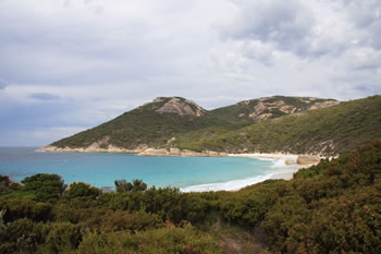
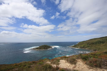
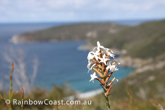 West Cape Howe National Park
 Containing the southernmost point of Western Australia this national park is astounding. Visit West Cape Howe National Park
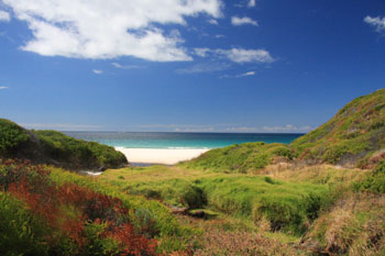
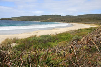
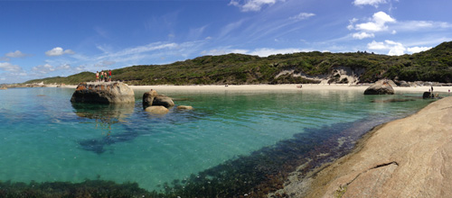
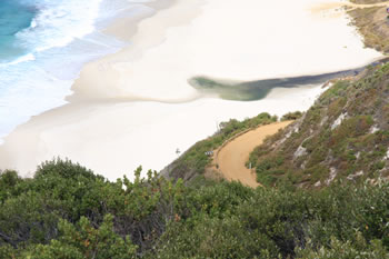 Shelley Beach
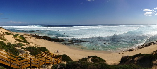
 Turquoise waters, verdant surrounds and ocean breeze make this beach a popular yet remote destination. Visit Shelley Beach
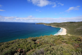 Shelley Beach Lookout
 A beautiful scenic lookout with hang gliding and paragliding platforms. Visit Shelley Beach Lookout
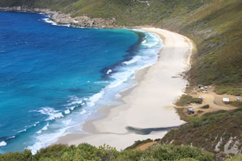
 Cosy Corner
 White beaches plus camping facilities and lots of picnic benches. Cosy Corner is cosy indeed. Located just east of West Cape National Park between Albany and Denmark. Visit Cosy Corner
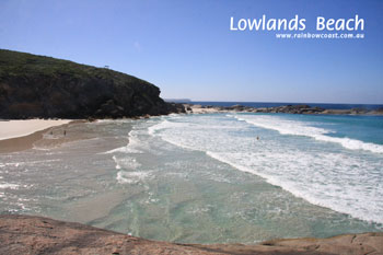 Lowlands Beach
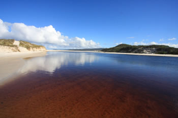
 Beautiful, secluded beach west of West Cape Howe and east of the Wilson Inlet. Visit Lowlands Beach
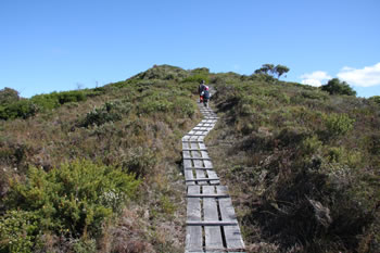
 Forsyth Bluff
 This eastern most end of the National Park is rugged with large waves and waist to head high heathland. Visit Forsyth Bluff
Forsyth Bluff Forsyth Bluff gives a wonderful view out over the top of the bluff, only metres from the car park. Visit Forsyth Bluff
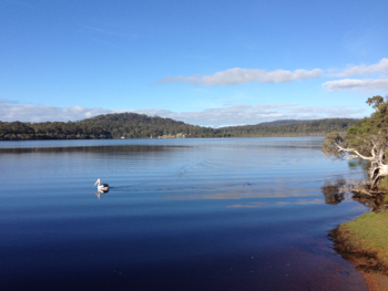
 Torbay Inlet
 Many people find Torbay to be one of the most relaxing and peaceful places along this stretch of coastline. Visit Torbay Inlet
Related Maps:
 If this helped you, FOLLOW US ON FACEBOOK to show your support!
Other amazing locations in the South-West of Western Australia!
More information on the south-west coast in our other Western Australian travellers guides:
Albany Tourist Information:
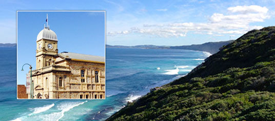
Albany WA
The Albany is the oldest settlement in Western Australia. Filled with history, surrounded by beaches and waterways, and a great place to visit while on holiday on the south coast of WA. Visit Albany today.
Have you visited?
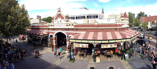
Fremantle WA
Fremantle, the Port City, is located south-west of Perth at the mouth of the Swan River. Fremantle's vibrant nightlife, music scene and cafe' culture make Fremantle a perfect getaway from the bustle of Perth. Beaches, history, shopping, dining out, and more. VISIT FREMANTLE
Have you visited?
Margaret River, WA
The Margaret River Region is an area of magnificent beauty on the western coast of the south west of WA. From the expansive shores of Busselton on Geographe Bay, through Dunsborough & Margaret River to Augusta, the Margaret River Region is fantastic. VISIT MARGARET RIVER
Have you visited?
Denmark WA
Denmark WA is one of the most beautiful places along the south coast as it has forests, beaches, rivers and waves. Everything you need for the perfect south coast holiday. Denmark Wineries are popular too! Info on Denmark Town including shopping, dining & history, VISIT DENMARK WA